
Difficulty Level
Moderate To Strenuous

Information about the trail
For 4 glorious miles it follows Lynn Camp Prong and will pass 2 named waterfalls; Lower Lynn Camp falls and Lynn Camp Prong Falls and countless unnamed waterfalls and cascades. It ends with the 4 tier beauty Indian Flats Falls. Also with only an average grade of 250feet elevation gain per mile it makes it a very manageable trail by most people. If this isn’t enough to wet your appetite, the trail also provides historical artifacts from days past with 1920s model Cadillac left by the CCC workers. This Trail is also an outstanding fall foliage hike.
Directions
The Middle Prong Trail starts at the upper end of the Tremont Area of the park. At the Townsend Y, turn right and follow the sign to Cades Cove. At .2 miles turn right onto Tremont Road. Continue on this Road for 5.4 miles until it dead ends. Note that at 2.1 miles you will pass the Great Smoky Mountain Institute of Tremont and at this point the road will turn from paved to gravel. When out exploring in the outdoors please always remember to practice the 7 principles of Leave No Trace. Learn how at www.lnt.org
Hike Description
The trail starts by crossing a footbridge where Lynn Camp Prong and Thunderhead Prong meet to form Middle Prong. Once across the bridge is where the old lumber mill camp was set up. You may also notice from some of the….mmmm leftovers that this trail is very Horse friendly. That means it is not very shoe friendly if you know what i’m saying. So watch your step. Just about 20 or 30 yards past the bridge You will see the trail head sign and a split. At the split you need to take a left which is not very obvious. Taking a right will take you straight to purgatory…No not really but its not the route you want to go for this hike.
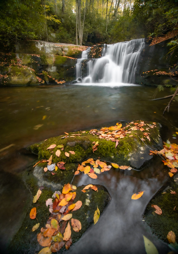
Once past the sign you are rewarded early and often. At just .3 mile you arrive at your first waterfall. Lower Lynn Camp Prong Falls. A Truly impressive 35ft Cascade. A bench is provided for viewing but you can bushwhack a little to get to the base of the falls but be careful as it can be steep and dangerous. A better view can be found just around the corner.
Moderate To Strenuous
8 Miles Round Trip
Monday
Open 24h
Tuesday
Open 24h
Wednesday
Open 24h
Thursday
Open 24h
Friday
Open 24h
Saturday
Open 24h
Sunday
Open 24h
October 23, 2026 12:29 pm local time



Upper Tremont Road, Townsend, TN, USA