
Difficulty Level
Moderate

Information about the trail
There is a term we use in the hiking community that brings a wide range of emotions. Rock Hopping!! Some love a good rock hop while others shutter at the thought. What is rock hopping, you ask? The Smokies are full of creeks and tributaries. Anytime a trail crosses one of these, you are either forced to wade through or if shallow enough, you can sometimes find rocks sticking up out of the water. If these rocks are close enough together you can then walk, or hop, across them to keep your feet dry. Thus the name rock hopping. The Meigs Creek Trail has some 18 to 20 such crossings in just 3.5 miles. In normal water flow, it is possible to navigate these crossings without wet feet but just barely.
If water levels are high…well I hope you have a dry pair of socks. But even with the wet feet the Meigs creek trail is a beautiful trail with the highlight being mid way up at Meigs Creek Cascade. We recommend visiting in Autumn because it doesn’t get much better than colorful leaves and mountain streams. Get your hiking sticks because you’re going to need them.
It’s time for Meigs Creek Trail with Up N’ Adam Adventures.
Directions
Meigs Creek Trail Starts at the Sinks Parking Lot. From Gatlinburg head into the park and turn Right at the sugarland visitor center on Little River Road. The Sinks parking lot is 12 miles on the left.
Hike Description
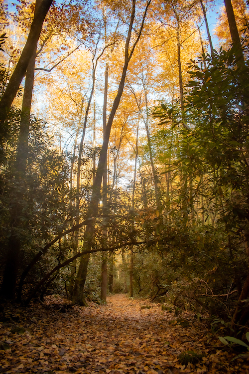
The Trail starts by climbing the rocks around the sinks and then makes it way down into a marshy, swampy area. From here the trail turns right and starts a very healthy accent along the side of the ridge gaining about 400ft in a little over ¾ of a mile. The fall foliage in this area is just astounding and you can hear Little River down below. At about 9/10th of a mile you will crest out on the ridge and start to make your decent back down. As you descend, you will go through some rodo tunnels which is a joy to see for most hikers. At 1.4 mile you arrive at Meigs Creek and your first water crossing. The first of 18 crossings to be exact. Yeah Rocking Hopping Time has come! It is recommended to have a hiking stick through this area. Some sandals or water shoes wouldn’t hurt either. However, at normal water flow it is possible to do all 18 crossings without getting wet but don’t count on it. Don’t fret, because all these water crossings are absolutely gorgeous. In the fall the leaves cling to the exposed rock making for a gorgeous scene for landscape photographers. From here the trail does a gradual ascent grade of about 250ft per mile. After about the 4th water crossing, Meigs Creek narrows and forms Meigs Creek Cascade on the right at 1.8 miles. Be sure to make your way down the spur trail to the right to get the best view of this falls. For a lot of people the hike ends here as this is truly the highlight of the trail. Meigs Creek Cascade also marks the halfway point to complete the entire Meigs Creek Trail. From the cascade, the trail continues to ascend at roughly the same grade. When out exploring in the outdoors please always remember to practice the 7 principles of Leave No Trace. Learn how at www.lnt.org
Moderate
7 Miles Round Trip
Monday
Open 24h
Tuesday
Open 24h
Wednesday
Open 24h
Thursday
Open 24h
Friday
Open 24h
Saturday
Open 24h
Sunday
Open 24h
October 23, 2026 11:42 am local time


Old State Hwy 73 Scenic, Gatlinburg, TN 37738, USA